Building a High-Performance Elevation API

This article is reposted from Building a High-Performance Elevation API At ColorfulClouds Technology(彩云科技, “cai yun” in Pinyin for 彩云), we are committed to providing users with meteorological data at higher temporal and spatial resolutions. Over the years, we have consistently faced a challenge: due to limitations in elevation data resolution, outdoor activity enthusiasts, particularly those involved in hiking and cross-country activities, often experience noticeable discrepancies between ColorfulClouds’ data and their actual experiences. This issue is especially prominent in mountainous and plateau regions with dramatic elevation changes. ...

 · 3 min · 1040 words · ringsaturn

History of package tzf

Introduces the evolution of tzf, from the initial implementation in Go, to the later Python extension, and finally to the current Rust implementation with a PyO3 wrapper.

 · 4 min · 1875 words · ringsaturn

How to look up GPS location belongs to which administration?

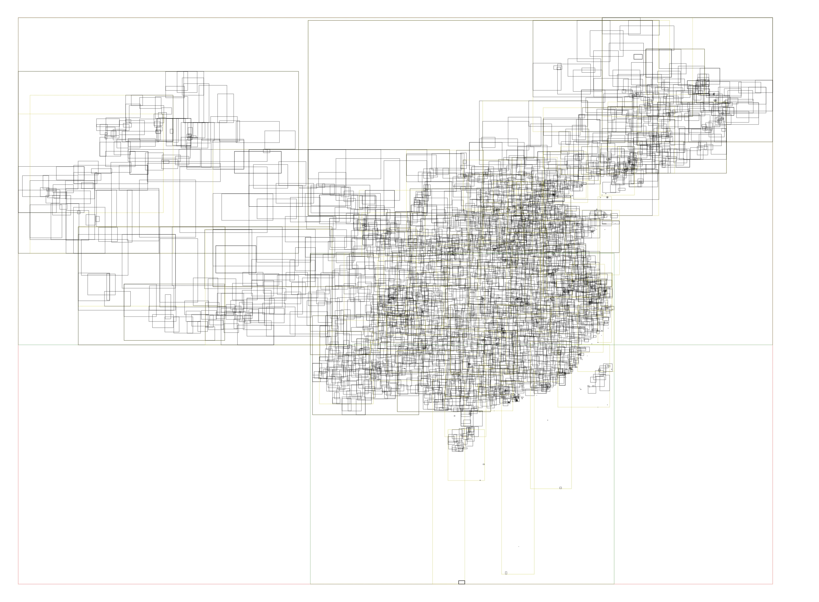
This is English version of 《彩云天气地理查询优化(2): 行政区划查询》. With some minor changes. In ColorfulClouds App and ColorfulClouds Weather API, we could get current GPS location’s weather alert information, such as “Gale Blue Alert”. Different countries and regions have different rules for issuing alerts. In China, it is issued according to the administrative division level, and the smallest is the county-level administrative division. Therefore, in the implementation, it is necessary to convert the GPS location into the administrative division level information, and then find the relevant alert information. ...

 · 3 min · 1310 words · ringsaturn

Caiyun Weather Geo Query Optimization (1): Meteorological Station Data Query

This article is reproduced from “Caiyun Weather Geo Query Optimization: The nearest N points” Let’s start from a real-world scenario: How to find the K nearest national observation stations to the 768 Creative Industry Park in Haidian District, Beijing? The simplest approach is to iterate over all candidate stations, compute the distance between each station and the 768 park, and then pick the K smallest distances. The code is straightforward. But the problem is it is slow. ...

 · 4 min · 744 words · ringsaturn