History of package tzf
Introduces the evolution of tzf, from the initial implementation in Go, to the later Python extension, and finally to the current Rust implementation with a PyO3 wrapper.

Introduces the evolution of tzf, from the initial implementation in Go, to the later Python extension, and finally to the current Rust implementation with a PyO3 wrapper.

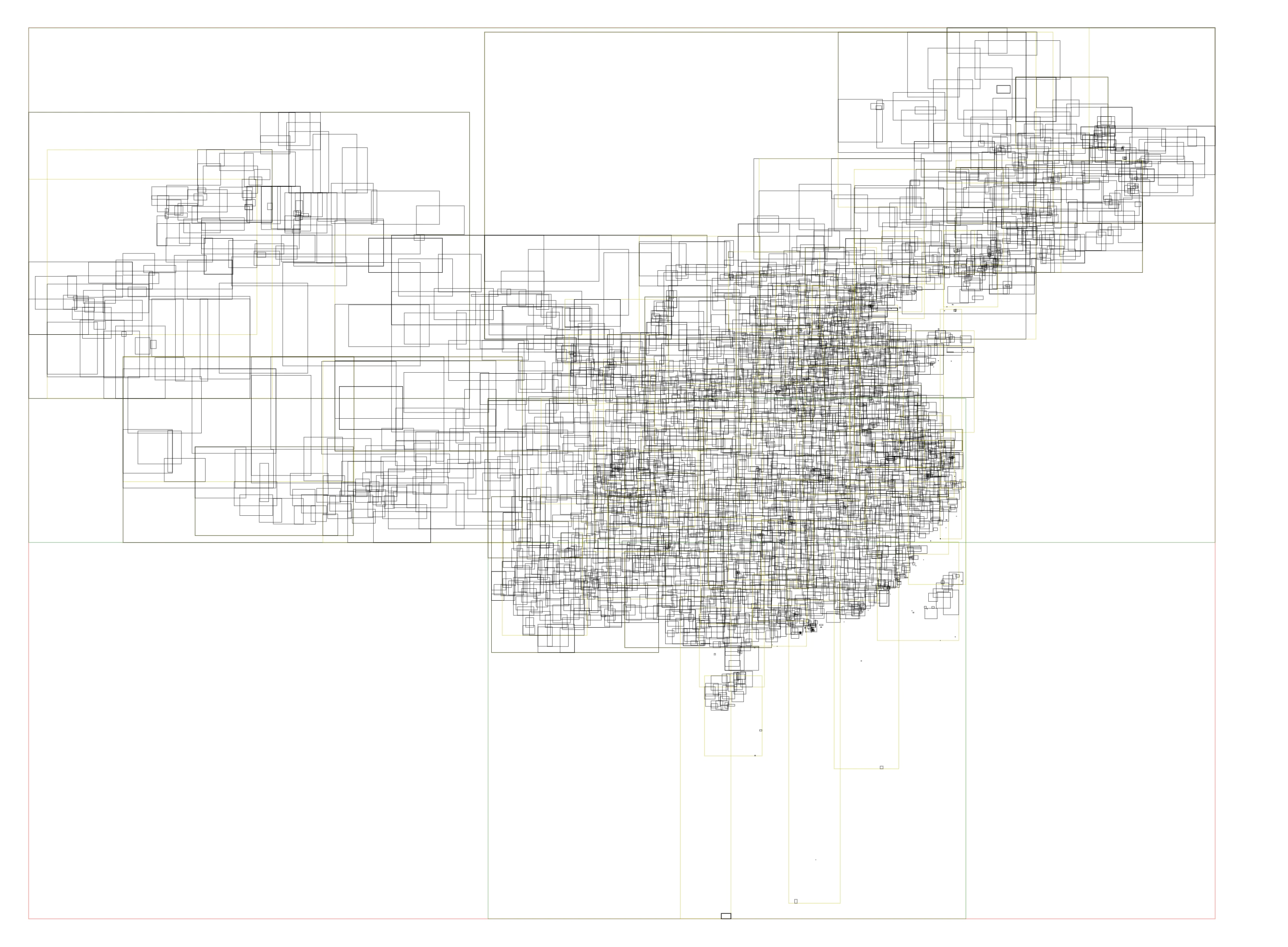
This is English version of 《彩云天气地理查询优化(2): 行政区划查询》. With some minor changes. In ColorfulClouds App and ColorfulClouds Weather API, we could get current GPS location’s weather alert information, such as “Gale Blue Alert”. Different countries and regions have different rules for issuing alerts. In China, it is issued according to the administrative division level, and the smallest is the county-level administrative division. Therefore, in the implementation, it is necessary to convert the GPS location into the administrative division level information, and then find the relevant alert information. ...
This article is reproduced from “Caiyun Weather Geo Query Optimization: The nearest N points” Let’s start from a real-world scenario: How to find the K nearest national observation stations to the 768 Creative Industry Park in Haidian District, Beijing? The simplest approach is to iterate over all candidate stations, compute the distance between each station and the 768 park, and then pick the K smallest distances. The code is straightforward. But the problem is it is slow. ...
When dealing with large amounts of scattered data, sometimes we need to provide a read-only query API to visualize on a map. When the amount of data is too large, say millions, it is not appropriate to return it all to the front end for processing on the browser. Some aggregation should be completed within the back-end service to return the aggregated search to the front end. Here’s how to do this with the MongoDB + tile index in Go. ...