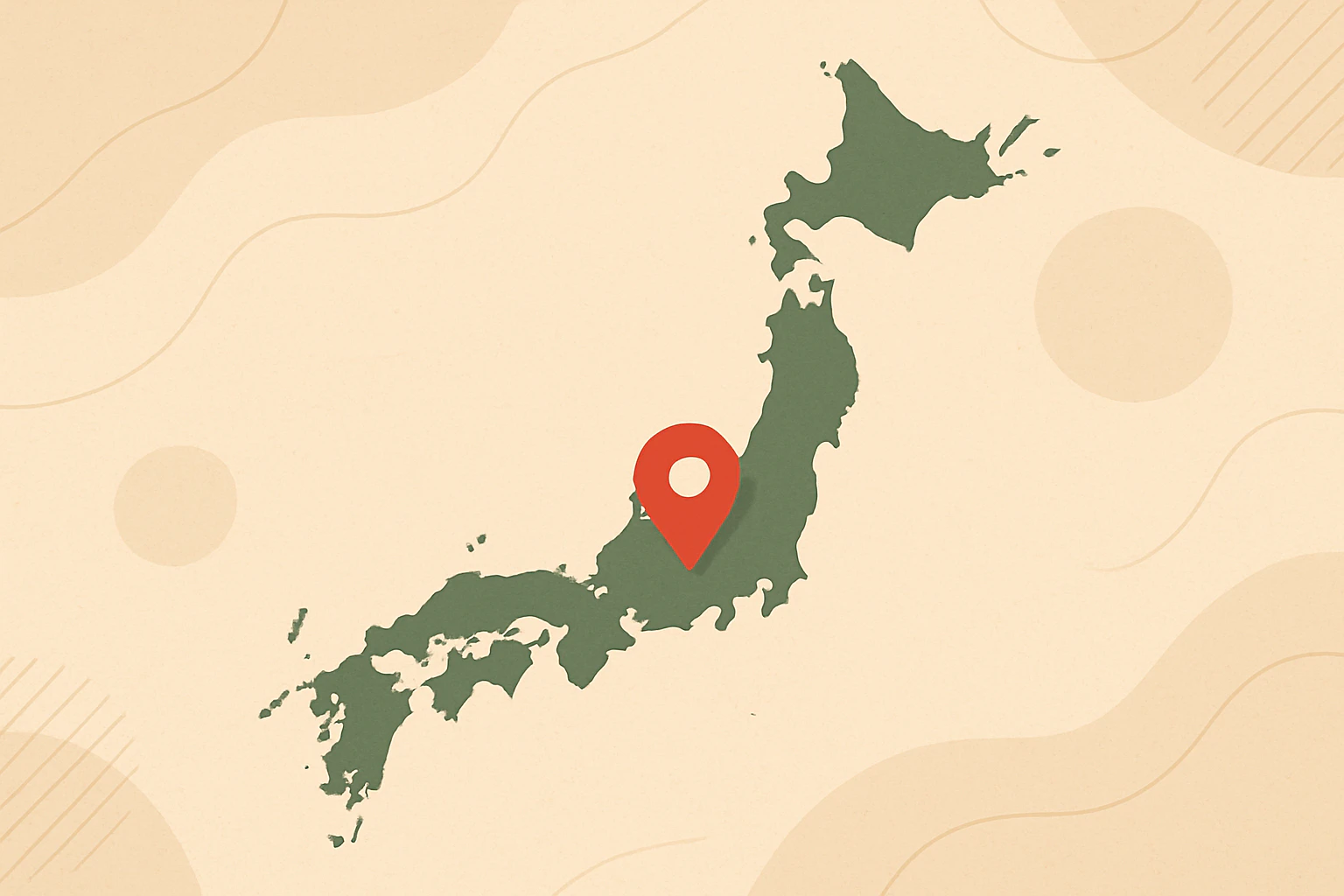
Reverse Geocoding of Japanese Administrative Divisions
A few months ago, I wanted to map Japanese coordinate data to administrative division levels. To achieve this, I developed a reverse geocoding tool reversejp using administrative boundary data from the Japan Meteorological Agency (JMA). The core functionality is implemented in Rust, and I packaged it as a Python library using PyO3 and Maturin. Although Japan’s land area is not very large, the JMA dataset subdivides the country into over 3,000 administrative units at its finest level. Considering Japan’s total land area, this results in extremely fine-grained coverage. ...
